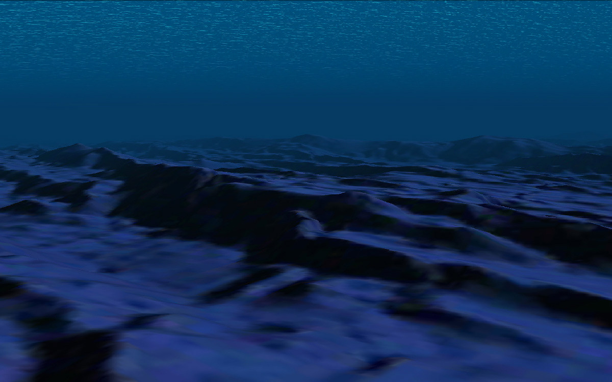
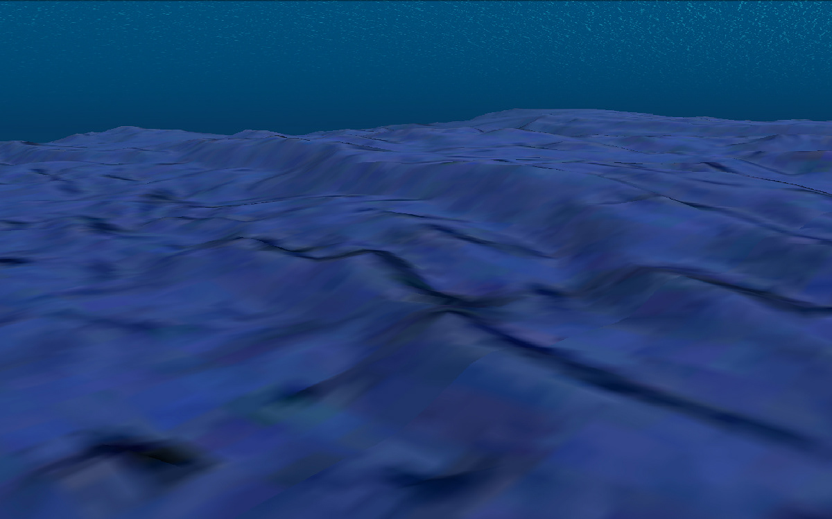
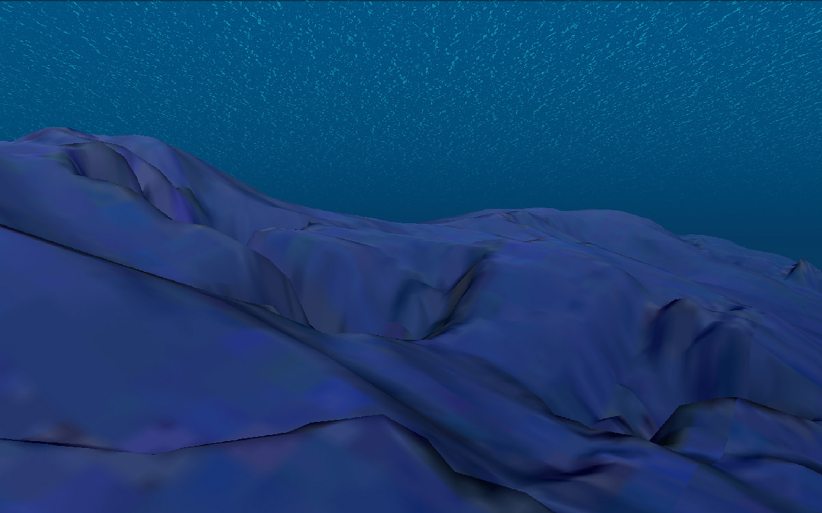
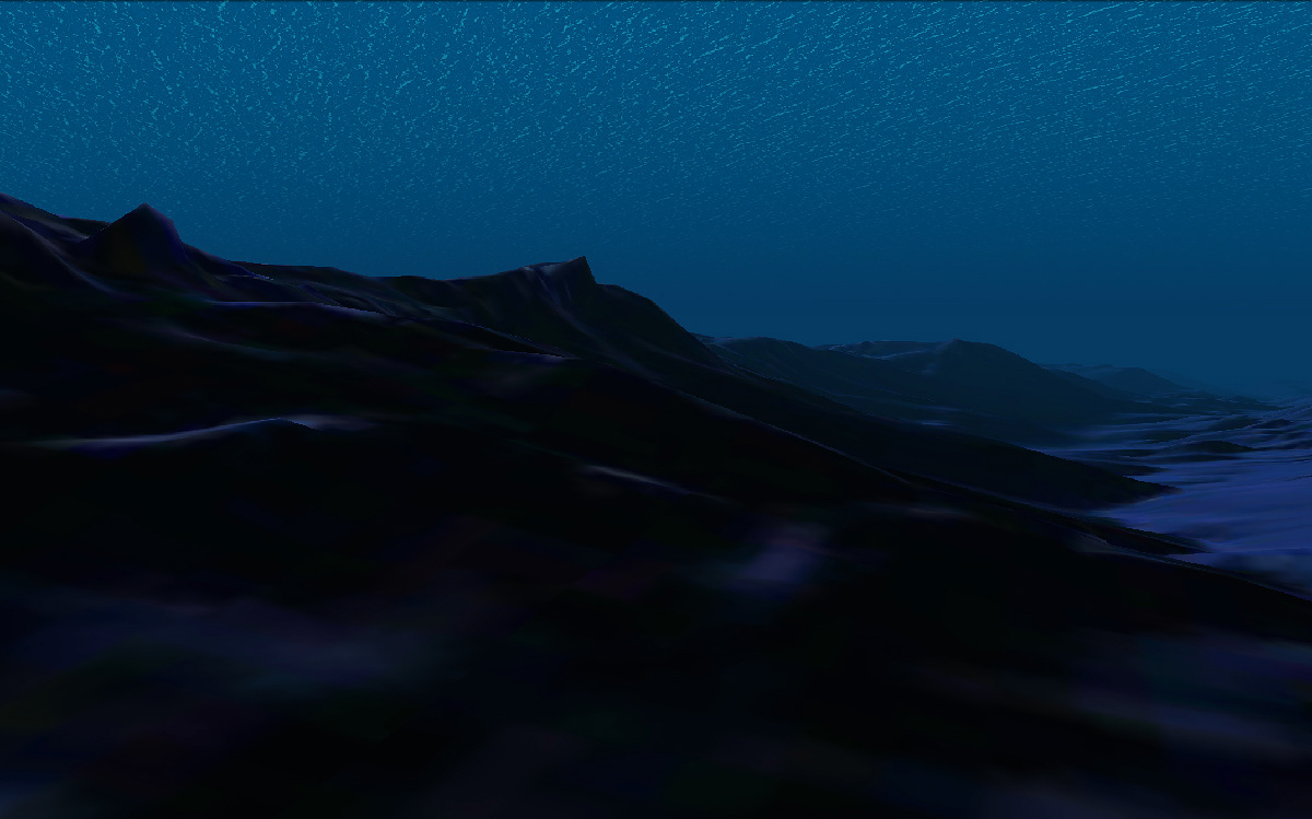
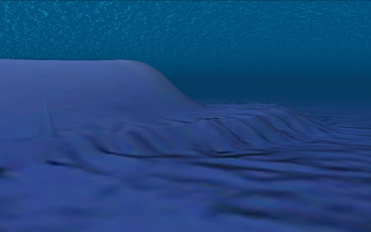
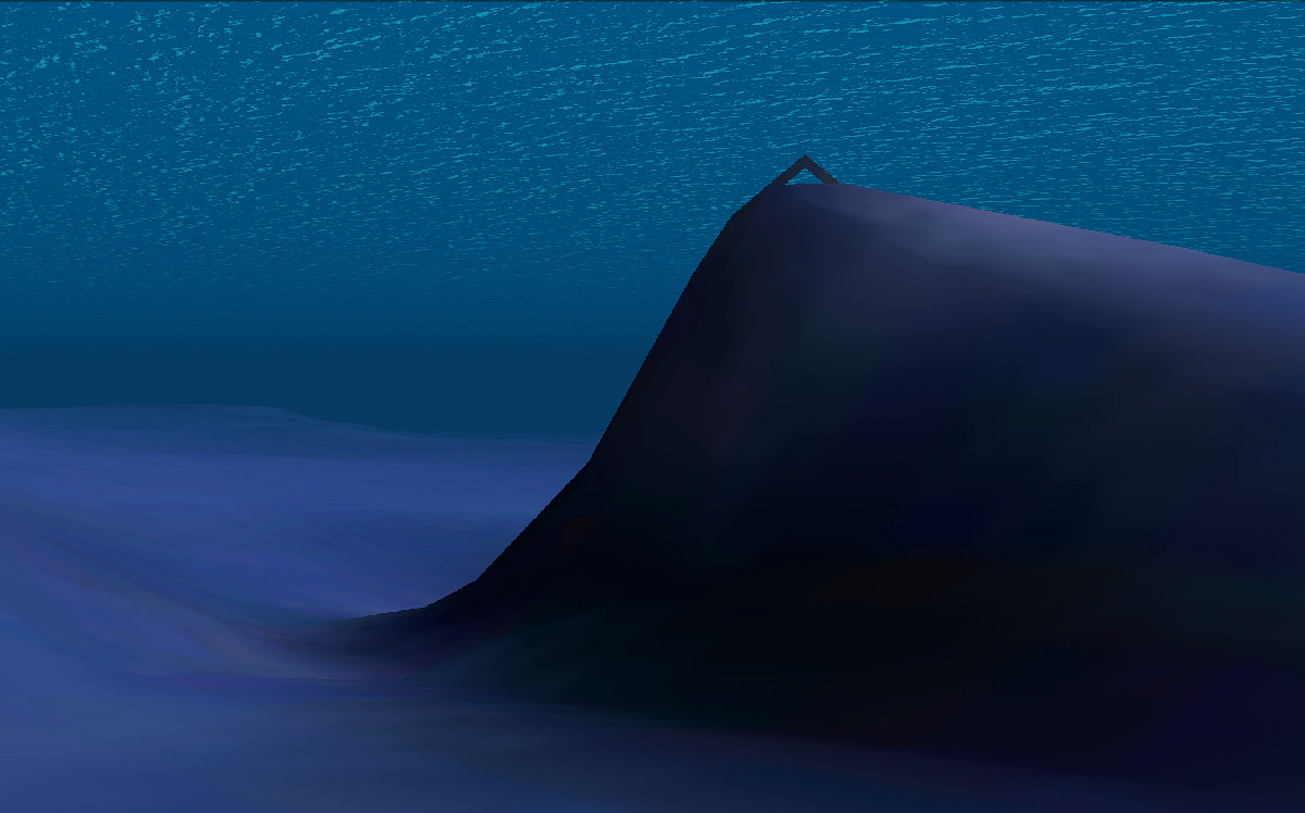
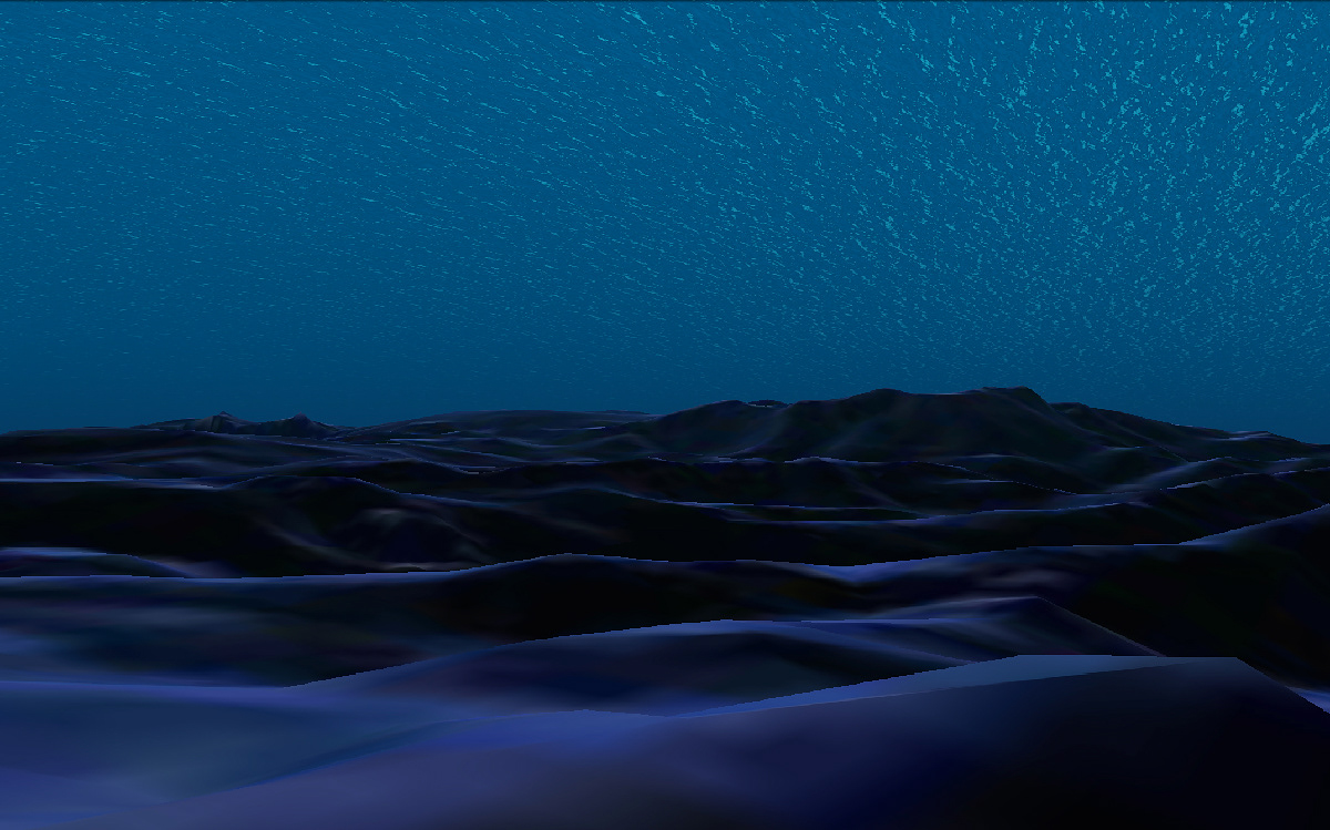
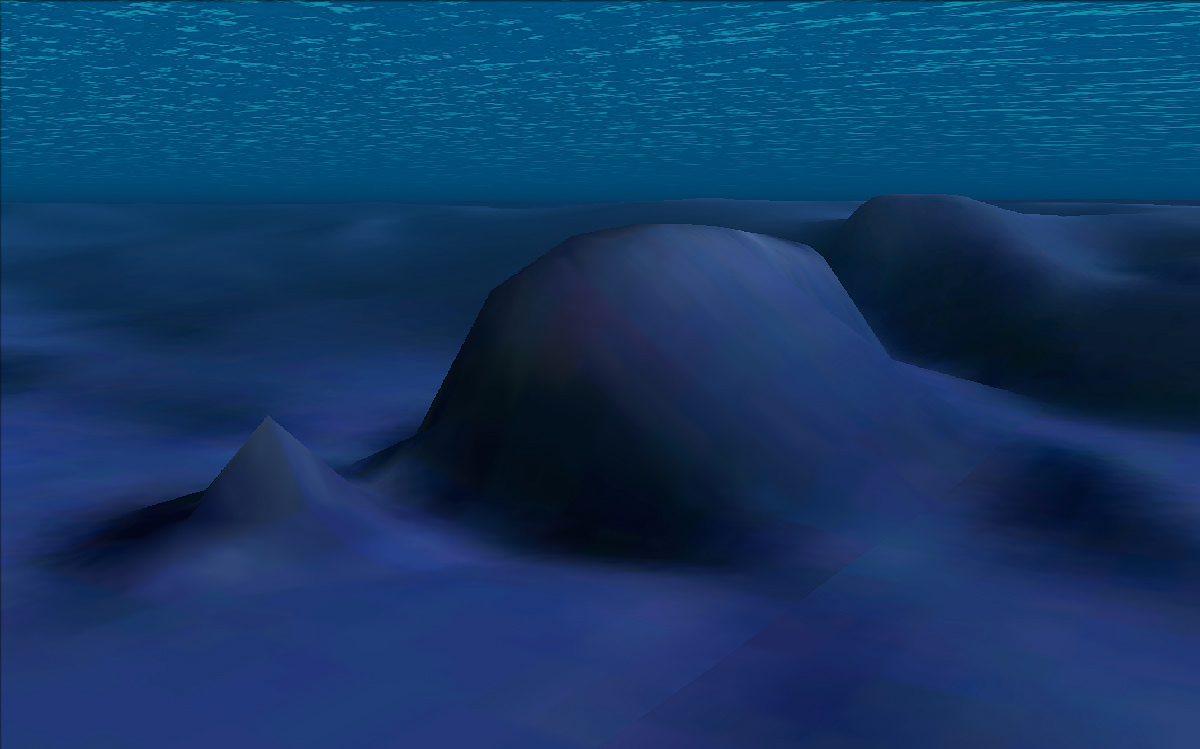
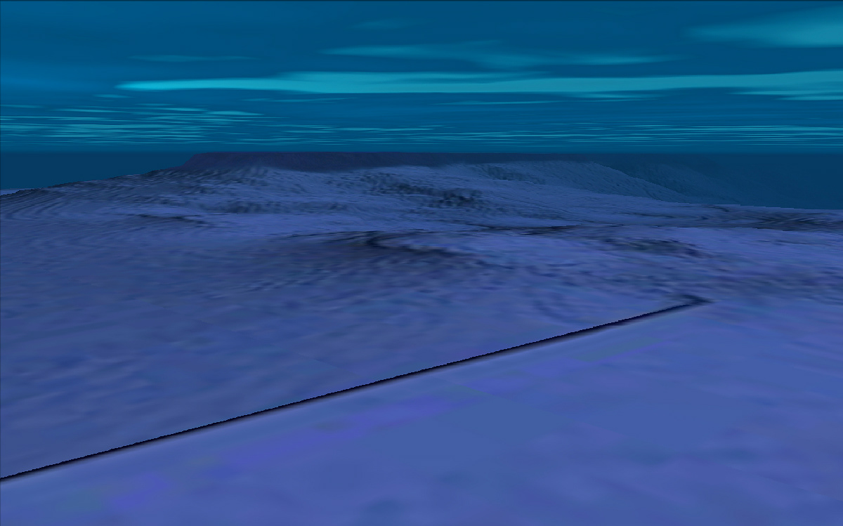
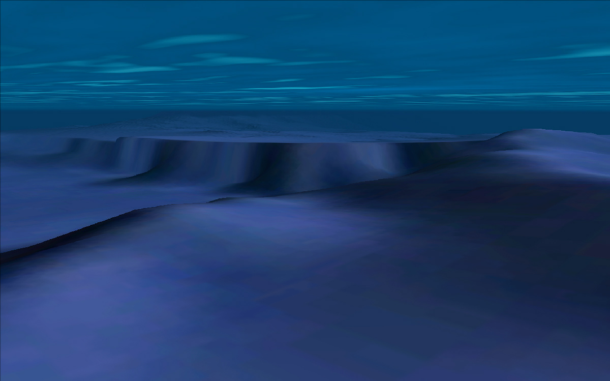
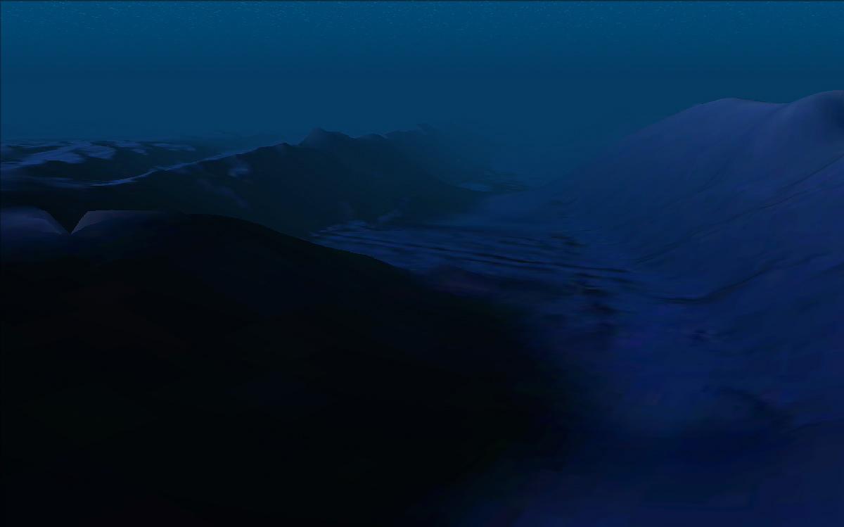
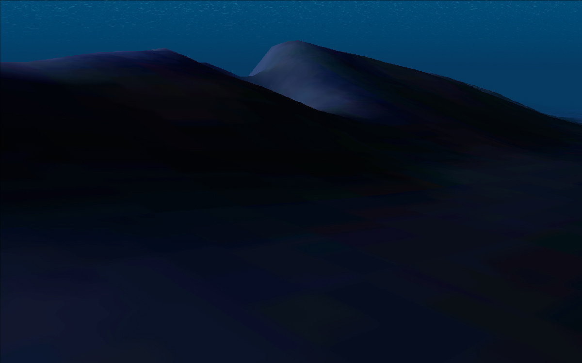
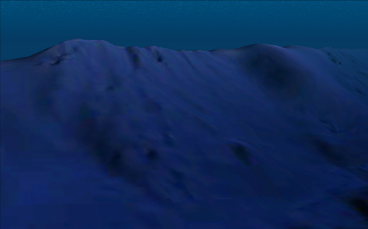
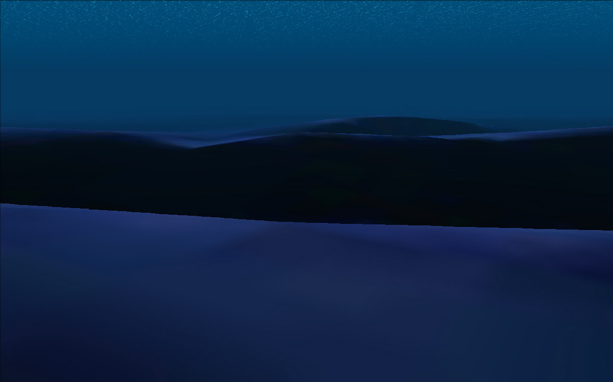
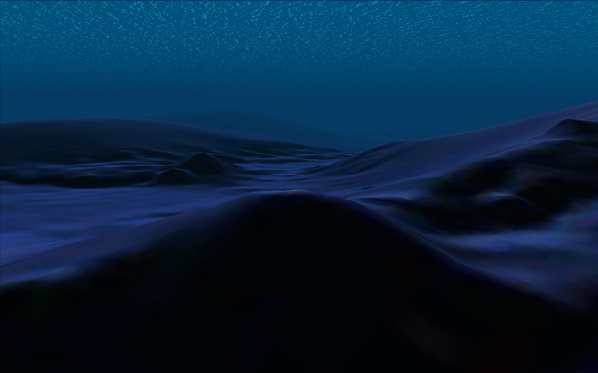
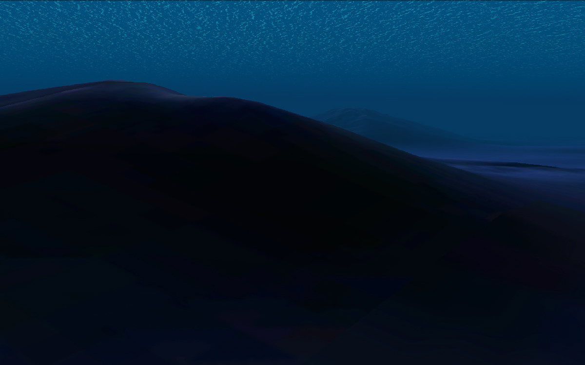
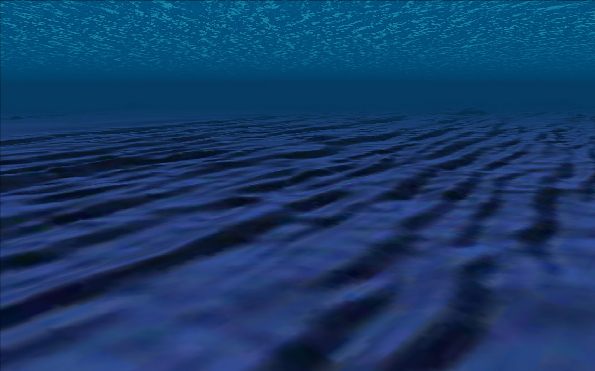
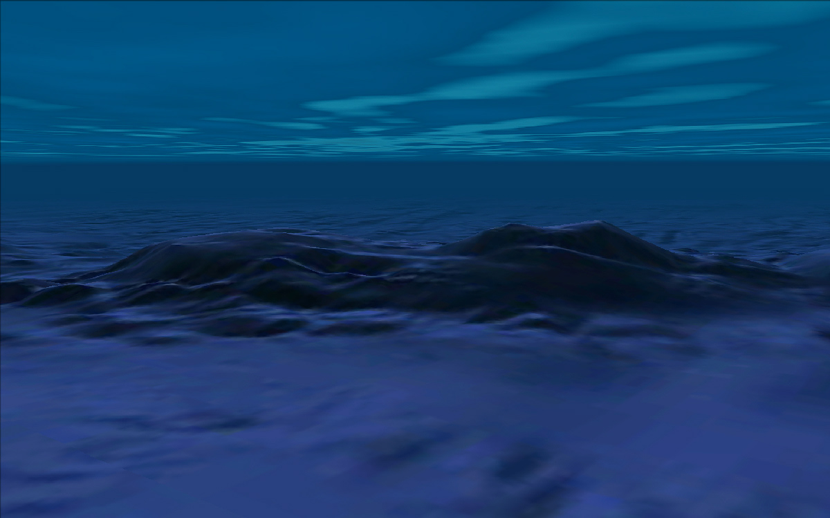
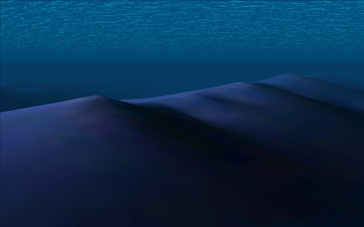
Google SeaView (2014)
Looping videos and landscape portraits of the ocean and seabed appropriated from satellite-based radar altimeter data in Google Earth. This work aims to showcase the beauty of physical realities created from digital datasets in a software environment, while also exposing the viewer to a part of our world more unknown to science than the surface of Mars.
As rapidly evolving technologies render these specific views unavailable to the online explorer, these pieces will terminally function as archival relics.